Tasmania is separated from mainland Australia by Bass Strait. Travellers bringing a vehicle can sail between Geelong and Devonport, then drive onward to Hobart. Check sailing arrangements and the vehicle hire agreement before booking.
Coles Bay is 193 km up the east coast, Launceston 200 north, Cradle Mountain 310 west. On the mainland those numbers would be one day. Here they are most of a loop.
Four ways from the airport
- East to Coles Bay 193 km up a coast road that is the reason most people come, with the Freycinet peninsula at the end.
- North to Launceston 200 km on the Midland Highway, the island’s main road. Fast, and the way to the north coast.
- West to Cradle Mountain 310 km, and the last part climbs. Check any length restriction on the access road before you commit.
- The crossing The vehicle ferry connects Geelong and Devonport. Confirm vehicle dimensions, quarantine requirements and the operator’s conditions before sailing.
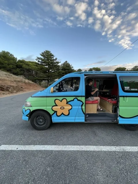
The crossing is not a drive
The crossing adds a ferry booking to the mainland and Tasmanian driving legs. Check vehicle dimensions and quarantine requirements before you board.
Bring one over, or hire here
Taking a van across costs a booking and a quarantine check, and hire companies set their own terms for it. Hiring in Hobart skips both and suits an island where no leg runs past 310 km.
Explore Wicked Campers for campervan hire in Hobart. Check vehicle availability and road restrictions with the operator.
Hobart questions
Is one week enough?
Yes. A week covers the east coast to Coles Bay and the north to Launceston with time at each, which is more than the 193 and 200 km figures suggest.
Can a hire van cross on the ferry?
Some can, under the operator’s conditions. Height and length limits apply and the hire company has to agree, so ask before you book the sailing.
Which direction should I loop?
East coast first, which puts the climb to Cradle Mountain at the end, when you know how the van handles and how far a Tasmanian day really is.